Map of Rio Grande River - Rio Grande River Map, Facts History, Rio Grande River Location - World Atlas
Rio Grande River
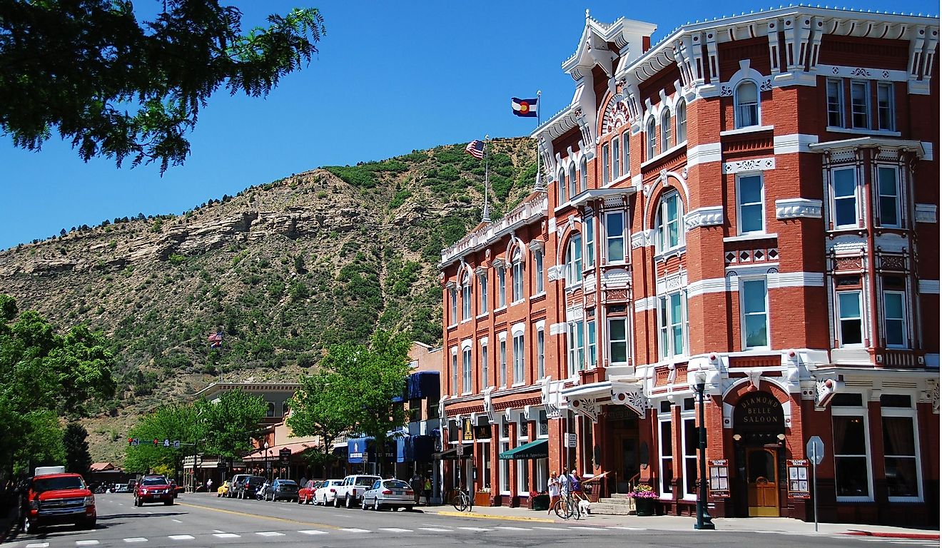
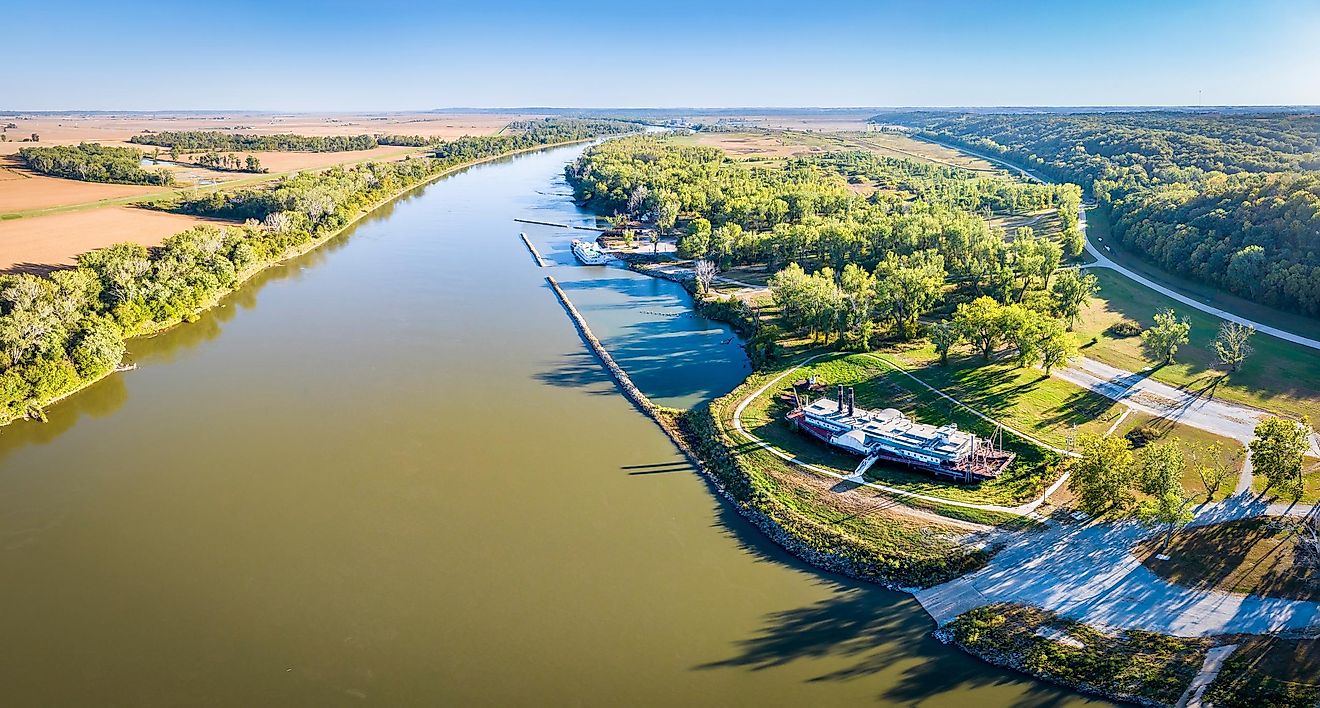
It is one of the longest rivers in North America. (1,885 miles) (3,034km). It begins in the San Juan Mountains of southern Colorado, then flows south through New Mexico. It forms the natural border between Texas and the country of Mexico as it flows southeast to the Gulf of Mexico. In Mexico it is known as Rio Bravo del Norte.
Used for drinking water by both countries, the river is becoming more poluted as population centers that dot the river grow in size, and then dump sewage and pesticides into the water.