Where is Valledupar, Colombia?
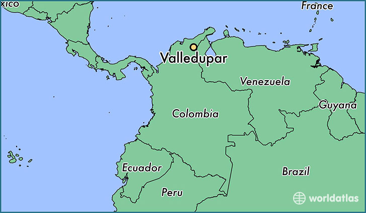
Valledupar is a city found in Cesar, Colombia. It is located 10.46 latitude and -73.25 longitude and it is situated at elevation 165 meters above sea level.
Valledupar has a population of 308,237 making it the biggest city in Cesar. It operates on the BMT time zone.
Quick facts
| Country | Colombia |
| Province | Cesar |
| Population | 308,237 |
| Elevation | 165 m over sea level |
| Time Zone | BMT |
| Longitude | -73.253220 |
| Latitude | 10.463140 |
This page was last updated on October 2, 2015.