Where is Porto Velho, Brazil?
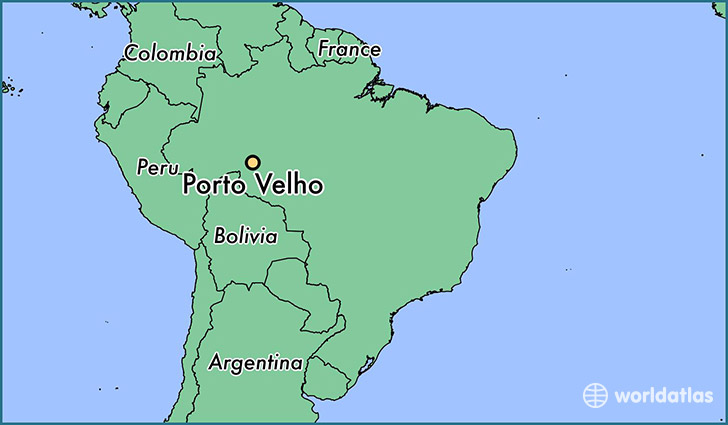
Porto Velho is a city found in Rondonia, Brazil. It is located -8.76 latitude and -63.90 longitude and it is situated at elevation 90 meters above sea level.
Porto Velho has a population of 306,180 making it the biggest city in Rondonia. It operates on the AMST time zone.
Quick facts
| Country | Brazil |
| Province | Rondonia |
| Population | 306,180 |
| Elevation | 90 m over sea level |
| Time Zone | AMST |
| Longitude | -63.903890 |
| Latitude | -8.761940 |
This page was last updated on October 2, 2015.