Where is Hot Springs County, Wyoming?
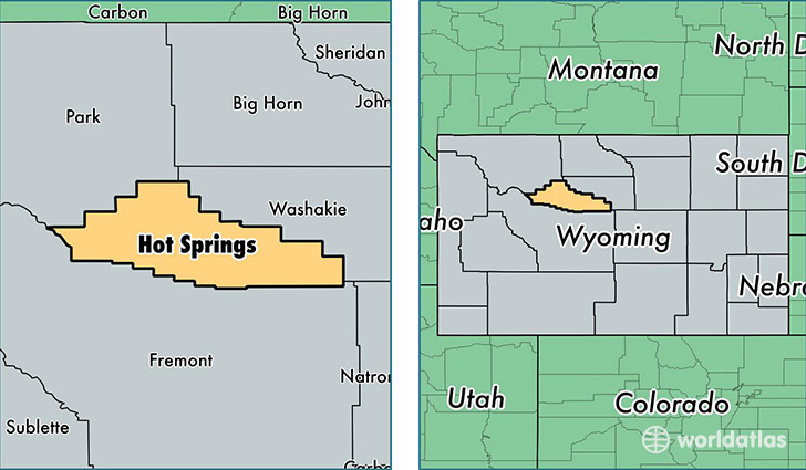
Hot Springs County is a county equivalent area found in Wyoming, USA. The county government of Hot Springs is found in the county seat of Thermopolis.
With a total 5,196.56 sq. km of land and water area, Hot Springs County, Wyoming is the 317th largest county equivalent area in the United States. Home to 4,816 people, Hot Springs County has a total 2546 households earning 42019 on average per year.
Hot Springs County, Wyoming - Quick Facts
| FIPS Code | 56017 |
| Area Codes | 307 |
| Time Zone | MST |
| Major Cities | Thermopolis (population: 4,706), Kirby (population: 100) |
| Land Area | 1,859 sq miles |
| Water Area | 2,004 sq miles |
| Household Income | $42,019 |
| Housing Units | 2,546 |
| Median Home Value | $143,900 |
| High School Grads | 86% of population |
| Holders of Bachelors Degrees | 18% of population |
| Retail Spending | $8,502 per capita |
| Food & Accomodation Sales | $10,368 per capita |
This page was last updated on June 30, 2016.