Where is Waushara County, Wisconsin?
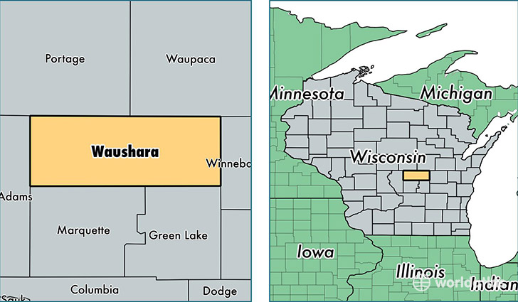
Waushara County is a county equivalent area found in Wisconsin, USA. The county government of Waushara is found in the county seat of Wautoma.
With a total 1,650.9 sq. km of land and water area, Waushara County, Wisconsin is the 1620th largest county equivalent area in the United States. Home to 24,178 people, Waushara County has a total 14834 households earning 43070 on average per year.
Waushara County, Wisconsin - Quick Facts
| FIPS Code | 55137 |
| Area Codes | 715,920 |
| Time Zone | CST |
| Major Cities | Wautoma (population: 7,106), Redgranite (population: 3,896), Wild Rose (population: 2,985), Plainfield (population: 2,006), Hancock (population: 1,916), Coloma (population: 1,781), Pine River (population: 1,342), Poy Sippi (population: 433), Saxeville (population: 36) |
| Land Area | 9,335 sq miles |
| Water Area | 626 sq miles |
| Household Income | $43,070 |
| Housing Units | 14,834 |
| Median Home Value | $136,800 |
| High School Grads | 87% of population |
| Holders of Bachelors Degrees | 14% of population |
| Retail Spending | $8,226 per capita |
| Food & Accomodation Sales | $25,080 per capita |
This page was last updated on June 30, 2016.