Where is Waukesha County, Wisconsin?
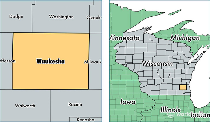
Waukesha County is a county equivalent area found in Wisconsin, USA. The county government of Waukesha is found in the county seat of Waukesha.
With a total 1,503.59 sq. km of land and water area, Waukesha County, Wisconsin is the 1827th largest county equivalent area in the United States. Home to 395,118 people, Waukesha County has a total 161677 households earning 75850 on average per year.
Waukesha County, Wisconsin - Quick Facts
| FIPS Code | 55133 |
| Area Codes | 262 |
| Time Zone | CST |
| Major Cities | Waukesha (population: 95,598), Brookfield (population: 41,363), New Berlin (population: 39,686), Menomonee Falls (population: 35,870), Oconomowoc (population: 34,030), Muskego (population: 24,999), Pewaukee (population: 24,054), Hartland (population: 20,927), Mukwonago (population: 19,171), Sussex (population: 18,682) |
| Land Area | 152,556 sq miles |
| Water Area | 549 sq miles |
| Household Income | $75,850 |
| Housing Units | 161,677 |
| Median Home Value | $253,800 |
| High School Grads | 96% of population |
| Holders of Bachelors Degrees | 40% of population |
| Retail Spending | $15,712 per capita |
| Food & Accomodation Sales | $616,641 per capita |
This page was last updated on June 30, 2016.