Where is Washington County, Wisconsin?
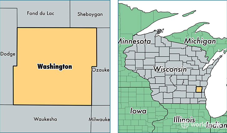
Washington County is a county equivalent area found in Wisconsin, USA. The county government of Washington is found in the county seat of West Bend.
With a total 1,128.33 sq. km of land and water area, Washington County, Wisconsin is the 2414th largest county equivalent area in the United States. Home to 133,251 people, Washington County has a total 55131 households earning 66159 on average per year.
Washington County, Wisconsin - Quick Facts
| FIPS Code | 55131 |
| Area Codes | 262 |
| Time Zone | CST |
| Major Cities | West Bend (population: 49,299), Hartford (population: 22,164), Germantown (population: 19,031), Jackson (population: 9,314), Slinger (population: 8,303), Kewaskum (population: 8,106), Colgate (population: 5,570), Hubertus (population: 4,913), Richfield (population: 3,669), Allenton (population: 2,312) |
| Land Area | 51,448 sq miles |
| Water Area | 431 sq miles |
| Household Income | $66,159 |
| Housing Units | 55,131 |
| Median Home Value | $222,900 |
| High School Grads | 93% of population |
| Holders of Bachelors Degrees | 28% of population |
| Retail Spending | $13,729 per capita |
| Food & Accomodation Sales | $152,903 per capita |
This page was last updated on June 30, 2016.