Where is Washburn County, Wisconsin?
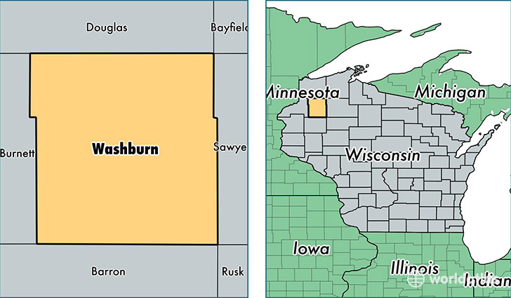
Washburn County is a county equivalent area found in Wisconsin, USA. The county government of Washburn is found in the county seat of Shell Lake.
With a total 2,210.08 sq. km of land and water area, Washburn County, Wisconsin is the 1079th largest county equivalent area in the United States. Home to 15,694 people, Washburn County has a total 12991 households earning 41924 on average per year.
Washburn County, Wisconsin - Quick Facts
| FIPS Code | 55129 |
| Area Codes | 715 |
| Time Zone | CST |
| Major Cities | Spooner (population: 6,458), Shell Lake (population: 3,088), Birchwood (population: 2,178), Minong (population: 1,885), Sarona (population: 1,478), Trego (population: 1,337), Springbrook (population: 1,049) |
| Land Area | 6,059 sq miles |
| Water Area | 797 sq miles |
| Household Income | $41,924 |
| Housing Units | 12,991 |
| Median Home Value | $146,000 |
| High School Grads | 91% of population |
| Holders of Bachelors Degrees | 20% of population |
| Retail Spending | $10,746 per capita |
| Food & Accomodation Sales | $25,328 per capita |
This page was last updated on June 30, 2016.