Where is Walworth County, Wisconsin?
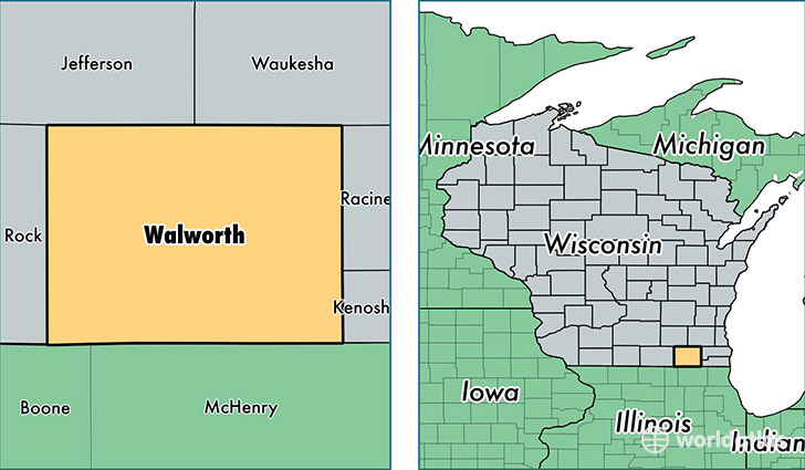
Walworth County is a county equivalent area found in Wisconsin, USA. The county government of Walworth is found in the county seat of Elkhorn.
With a total 1,493.33 sq. km of land and water area, Walworth County, Wisconsin is the 1857th largest county equivalent area in the United States. Home to 103,527 people, Walworth County has a total 51507 households earning 54020 on average per year.
Walworth County, Wisconsin - Quick Facts
| FIPS Code | 55127 |
| Area Codes | 262 |
| Time Zone | CST |
| Major Cities | Whitewater (population: 19,324), Elkhorn (population: 19,161), Lake Geneva (population: 16,557), Delavan (population: 15,884), East Troy (population: 9,734), Genoa City (population: 9,004), Walworth (population: 4,297), Williams Bay (population: 2,859), Darien (population: 2,693), Sharon (population: 2,228) |
| Land Area | 39,972 sq miles |
| Water Area | 555 sq miles |
| Household Income | $54,020 |
| Housing Units | 51,507 |
| Median Home Value | $194,900 |
| High School Grads | 90% of population |
| Holders of Bachelors Degrees | 26% of population |
| Retail Spending | $10,886 per capita |
| Food & Accomodation Sales | $267,234 per capita |
This page was last updated on June 30, 2016.