Where is Racine County, Wisconsin?
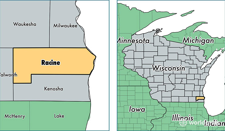
Racine County is a county equivalent area found in Wisconsin, USA. The county government of Racine is found in the county seat of Racine.
With a total 2,051.65 sq. km of land and water area, Racine County, Wisconsin is the 1197th largest county equivalent area in the United States. Home to 195,163 people, Racine County has a total 82052 households earning 54090 on average per year.
Racine County, Wisconsin - Quick Facts
| FIPS Code | 55101 |
| Area Codes | 262,414 |
| Time Zone | CST |
| Major Cities | Racine (population: 126,908), Burlington (population: 29,232), Waterford (population: 18,492), Union Grove (population: 9,391), Sturtevant (population: 8,307), Franksville (population: 6,410), Caledonia (population: 3,318), Kansasville (population: 2,798), Rochester (population: 397) |
| Land Area | 75,353 sq miles |
| Water Area | 332 sq miles |
| Household Income | $54,090 |
| Housing Units | 82,052 |
| Median Home Value | $170,100 |
| High School Grads | 88% of population |
| Holders of Bachelors Degrees | 23% of population |
| Retail Spending | $11,172 per capita |
| Food & Accomodation Sales | $242,667 per capita |
This page was last updated on June 30, 2016.