Where is Oneida County, Wisconsin?
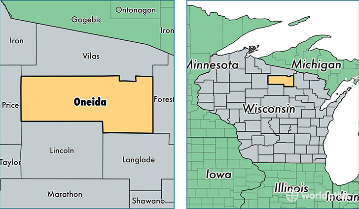
Oneida County is a county equivalent area found in Wisconsin, USA. The county government of Oneida is found in the county seat of Rhinelander.
With a total 3,202.52 sq. km of land and water area, Oneida County, Wisconsin is the 565th largest county equivalent area in the United States. Home to 35,563 people, Oneida County has a total 30259 households earning 45759 on average per year.
Oneida County, Wisconsin - Quick Facts
| FIPS Code | 55085 |
| Area Codes | 715 |
| Time Zone | CST |
| Major Cities | Rhinelander (population: 19,860), Minocqua (population: 4,590), Three Lakes (population: 1,932), Hazelhurst (population: 1,442), Lake Tomahawk (population: 1,372), Harshaw (population: 1,124), Pelican Lake (population: 678), Tripoli (population: 383), McNaughton (population: 37) |
| Land Area | 13,731 sq miles |
| Water Area | 1,114 sq miles |
| Household Income | $45,759 |
| Housing Units | 30,259 |
| Median Home Value | $165,200 |
| High School Grads | 93% of population |
| Holders of Bachelors Degrees | 24% of population |
| Retail Spending | $25,450 per capita |
| Food & Accomodation Sales | $84,113 per capita |
| Universities and Colleges | Nicolet Area Technical College |
This page was last updated on June 30, 2016.