Where is Menominee County, Wisconsin?
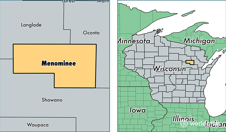
Menominee County is a county equivalent area found in Wisconsin, USA. The county government of Menominee is found in the county seat of Keshena.
With a total 945.24 sq. km of land and water area, Menominee County, Wisconsin is the 2694th largest county equivalent area in the United States. Home to 4,522 people, Menominee County has a total 2246 households earning 33333 on average per year.
Menominee County, Wisconsin - Quick Facts
| FIPS Code | 55078 |
| Area Codes | 715 |
| Time Zone | CST |
| Major Cities | Keshena (population: 3,175), Neopit (population: 1,055) |
| Land Area | 1,746 sq miles |
| Water Area | 358 sq miles |
| Household Income | $33,333 |
| Housing Units | 2,246 |
| Median Home Value | $88,500 |
| High School Grads | 90% of population |
| Holders of Bachelors Degrees | 16% of population |
| Retail Spending | $1,142 per capita |
| Universities and Colleges | College of Menominee Nation |
This page was last updated on June 30, 2016.