Where is Marquette County, Wisconsin?
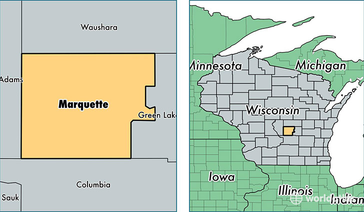
Marquette County is a county equivalent area found in Wisconsin, USA. The county government of Marquette is found in the county seat of Montello.
With a total 1,202.96 sq. km of land and water area, Marquette County, Wisconsin is the 2304th largest county equivalent area in the United States. Home to 15,050 people, Marquette County has a total 9822 households earning 46077 on average per year.
Marquette County, Wisconsin - Quick Facts
| FIPS Code | 55077 |
| Area Codes | 608,920 |
| Time Zone | CST |
| Major Cities | Montello (population: 5,933), Oxford (population: 4,329), Westfield (population: 3,557), Neshkoro (population: 2,777), Endeavor (population: 1,268), Briggsville (population: 409), Packwaukee (population: 278) |
| Land Area | 5,811 sq miles |
| Water Area | 456 sq miles |
| Household Income | $46,077 |
| Housing Units | 9,822 |
| Median Home Value | $142,000 |
| High School Grads | 87% of population |
| Holders of Bachelors Degrees | 13% of population |
| Retail Spending | $5,363 per capita |
This page was last updated on June 30, 2016.