Where is Marinette County, Wisconsin?
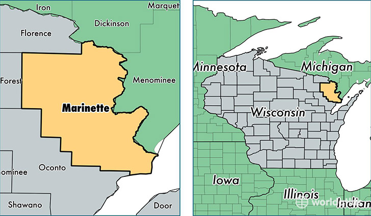
Marinette County is a county equivalent area found in Wisconsin, USA. The county government of Marinette is found in the county seat of Marinette.
With a total 4,014.45 sq. km of land and water area, Marinette County, Wisconsin is the 432nd largest county equivalent area in the United States. Home to 41,298 people, Marinette County has a total 30258 households earning 40490 on average per year.
Marinette County, Wisconsin - Quick Facts
| FIPS Code | 55075 |
| Area Codes | 715,920 |
| Time Zone | CST |
| Major Cities | Marinette (population: 15,157), Peshtigo (population: 5,959), Crivitz (population: 5,154), Niagara (population: 3,557), Wausaukee (population: 2,885), Pound (population: 2,682), Coleman (population: 2,273), Pembine (population: 1,528), Porterfield (population: 1,427), Dunbar (population: 1,078) |
| Land Area | 15,945 sq miles |
| Water Area | 1,399 sq miles |
| Household Income | $40,490 |
| Housing Units | 30,258 |
| Median Home Value | $108,200 |
| High School Grads | 89% of population |
| Holders of Bachelors Degrees | 14% of population |
| Retail Spending | $12,458 per capita |
| Food & Accomodation Sales | $54,376 per capita |
This page was last updated on June 30, 2016.