Where is Langlade County, Wisconsin?
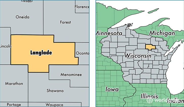
Langlade County is a county equivalent area found in Wisconsin, USA. The county government of Langlade is found in the county seat of Antigo.
With a total 2,299.58 sq. km of land and water area, Langlade County, Wisconsin is the 1004th largest county equivalent area in the United States. Home to 19,410 people, Langlade County has a total 12319 households earning 42389 on average per year.
Langlade County, Wisconsin - Quick Facts
| FIPS Code | 55067 |
| Area Codes | 715 |
| Time Zone | CST |
| Major Cities | Antigo (population: 13,022), White Lake (population: 1,625), Deerbrook (population: 1,623), Elcho (population: 1,108), Bryant (population: 1,062), Pickerel (population: 528), Pearson (population: 342), Summit Lake (population: 316), Elton (population: 132) |
| Land Area | 7,494 sq miles |
| Water Area | 871 sq miles |
| Household Income | $42,389 |
| Housing Units | 12,319 |
| Median Home Value | $108,000 |
| High School Grads | 88% of population |
| Holders of Bachelors Degrees | 13% of population |
| Retail Spending | $15,230 per capita |
| Food & Accomodation Sales | $25,281 per capita |
This page was last updated on June 30, 2016.