Where is Lafayette County, Wisconsin?
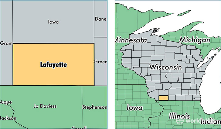
Lafayette County is a county equivalent area found in Wisconsin, USA. The county government of Lafayette is found in the county seat of Darlington.
With a total 1,643.52 sq. km of land and water area, Lafayette County, Wisconsin is the 1629th largest county equivalent area in the United States. Home to 16,853 people, Lafayette County has a total 7197 households earning 49107 on average per year.
Lafayette County, Wisconsin - Quick Facts
| FIPS Code | 55065 |
| Area Codes | 608 |
| Time Zone | CST |
| Major Cities | Darlington (population: 4,570), Shullsburg (population: 2,286), Blanchardville (population: 2,157), Argyle (population: 2,086), Belmont (population: 1,483), Benton (population: 1,307), South Wayne (population: 1,291), Gratiot (population: 861), Woodford (population: 69) |
| Land Area | 6,507 sq miles |
| Water Area | 634 sq miles |
| Household Income | $49,107 |
| Housing Units | 7,197 |
| Median Home Value | $121,800 |
| High School Grads | 90% of population |
| Holders of Bachelors Degrees | 17% of population |
| Retail Spending | $6,127 per capita |
This page was last updated on June 30, 2016.