Where is Kewaunee County, Wisconsin?
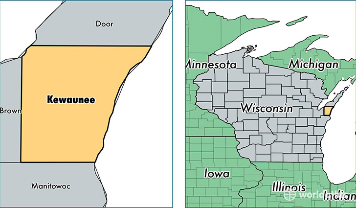
Kewaunee County is a county equivalent area found in Wisconsin, USA. The county government of Kewaunee is found in the county seat of Kewaunee.
With a total 2,808.29 sq. km of land and water area, Kewaunee County, Wisconsin is the 677th largest county equivalent area in the United States. Home to 20,444 people, Kewaunee County has a total 9294 households earning 53588 on average per year.
Kewaunee County, Wisconsin - Quick Facts
| FIPS Code | 55061 |
| Area Codes | 920 |
| Time Zone | CST |
| Major Cities | Luxemburg (population: 7,436), Kewaunee (population: 6,291), Algoma (population: 5,357), Casco (population: 2,182) |
| Land Area | 7,893 sq miles |
| Water Area | 342 sq miles |
| Household Income | $53,588 |
| Housing Units | 9,294 |
| Median Home Value | $149,000 |
| High School Grads | 91% of population |
| Holders of Bachelors Degrees | 14% of population |
| Retail Spending | $7,494 per capita |
| Food & Accomodation Sales | $14,372 per capita |
This page was last updated on June 30, 2016.