Where is Iowa County, Wisconsin?
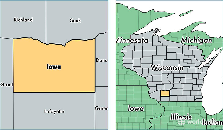
Iowa County is a county equivalent area found in Wisconsin, USA. The county government of Iowa is found in the county seat of Dodgeville.
With a total 1,989.25 sq. km of land and water area, Iowa County, Wisconsin is the 1240th largest county equivalent area in the United States. Home to 23,825 people, Iowa County has a total 10707 households earning 55659 on average per year.
Iowa County, Wisconsin offers the following attraction to visitors: Taliesin (studio)
Iowa County, Wisconsin - Quick Facts
| FIPS Code | 55049 |
| Area Codes | 608 |
| Time Zone | CST |
| Major Cities | Dodgeville (population: 7,312), Mineral Point (population: 4,786), Barneveld (population: 2,207), Arena (population: 1,956), Highland (population: 1,648), Avoca (population: 1,130), Ridgeway (population: 1,084), Hollandale (population: 804), Linden (population: 627), Cobb (population: 567) |
| Land Area | 9,199 sq miles |
| Water Area | 763 sq miles |
| Household Income | $55,659 |
| Housing Units | 10,707 |
| Median Home Value | $160,500 |
| High School Grads | 92% of population |
| Holders of Bachelors Degrees | 22% of population |
| Retail Spending | $72,484 per capita |
| Food & Accomodation Sales | $25,940 per capita |
This page was last updated on June 30, 2016.