Where is Dunn County, Wisconsin?
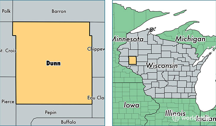
Dunn County is a county equivalent area found in Wisconsin, USA. The county government of Dunn is found in the county seat of Menomonee.
With a total 2,237.49 sq. km of land and water area, Dunn County, Wisconsin is the 1051st largest county equivalent area in the United States. Home to 44,305 people, Dunn County has a total 17937 households earning 48893 on average per year.
Dunn County, Wisconsin - Quick Facts
| FIPS Code | 55033 |
| Area Codes | 715 |
| Time Zone | CST |
| Major Cities | Menomonie (population: 25,767), Elk Mound (population: 4,978), Colfax (population: 4,928), Boyceville (population: 2,911), Knapp (population: 1,237), Ridgeland (population: 1,138), Wheeler (population: 1,108), Downing (population: 860), Eau Galle (population: 488), Sand Creek (population: 24) |
| Land Area | 17,106 sq miles |
| Water Area | 850 sq miles |
| Household Income | $48,893 |
| Housing Units | 17,937 |
| Median Home Value | $156,200 |
| High School Grads | 92% of population |
| Holders of Bachelors Degrees | 25% of population |
| Retail Spending | $8,972 per capita |
| Food & Accomodation Sales | $42,565 per capita |
| Universities and Colleges | University of Wisconsin-Stout |
This page was last updated on June 30, 2016.