Where is Dodge County, Wisconsin?
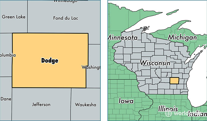
Dodge County is a county equivalent area found in Wisconsin, USA. The county government of Dodge is found in the county seat of Juneau.
With a total 2,349.39 sq. km of land and water area, Dodge County, Wisconsin is the 932nd largest county equivalent area in the United States. Home to 88,574 people, Dodge County has a total 37034 households earning 53075 on average per year.
Dodge County, Wisconsin - Quick Facts
| FIPS Code | 55027 |
| Area Codes | 920 |
| Time Zone | CST |
| Major Cities | Beaver Dam (population: 22,419), Watertown (population: 11,918), Mayville (population: 6,958), Juneau (population: 4,844), Horicon (population: 4,738), Fox Lake (population: 4,101), Randolph (population: 3,382), Lomira (population: 3,351), Iron Ridge (population: 2,396), Theresa (population: 2,010) |
| Land Area | 34,199 sq miles |
| Water Area | 876 sq miles |
| Household Income | $53,075 |
| Housing Units | 37,034 |
| Median Home Value | $154,000 |
| High School Grads | 87% of population |
| Holders of Bachelors Degrees | 16% of population |
| Retail Spending | $8,386 per capita |
| Food & Accomodation Sales | $66,077 per capita |
This page was last updated on June 30, 2016.