Where is Chippewa County, Wisconsin?
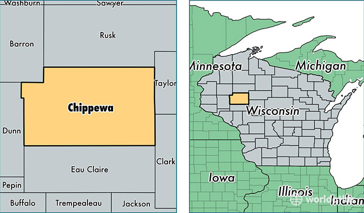
Chippewa County is a county equivalent area found in Wisconsin, USA. The county government of Chippewa is found in the county seat of Chippewa Falls.
With a total 2,696.85 sq. km of land and water area, Chippewa County, Wisconsin is the 725th largest county equivalent area in the United States. Home to 63,460 people, Chippewa County has a total 27422 households earning 50551 on average per year.
Chippewa County, Wisconsin - Quick Facts
| FIPS Code | 55017 |
| Area Codes | 715 |
| Time Zone | CST |
| Major Cities | Chippewa Falls (population: 31,727), Bloomer (population: 7,232), Stanley (population: 6,026), Cadott (population: 4,957), New Auburn (population: 3,322), Cornell (population: 2,947), Holcombe (population: 2,268), Boyd (population: 1,706), Jim Falls (population: 1,226) |
| Land Area | 24,502 sq miles |
| Water Area | 1,008 sq miles |
| Household Income | $50,551 |
| Housing Units | 27,422 |
| Median Home Value | $147,700 |
| High School Grads | 91% of population |
| Holders of Bachelors Degrees | 19% of population |
| Retail Spending | $17,673 per capita |
| Food & Accomodation Sales | $56,276 per capita |
This page was last updated on June 30, 2016.