Where is Bayfield County, Wisconsin?
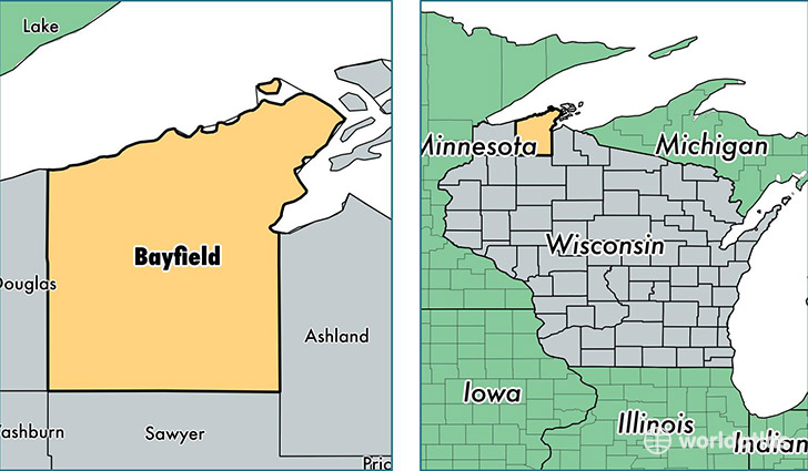
Bayfield County is a county equivalent area found in Wisconsin, USA. The county government of Bayfield is found in the county seat of Washburn.
With a total 5,287.94 sq. km of land and water area, Bayfield County, Wisconsin is the 311th largest county equivalent area in the United States. Home to 14,985 people, Bayfield County has a total 13048 households earning 44944 on average per year.
Bayfield County, Wisconsin - Quick Facts
| FIPS Code | 55007 |
| Area Codes | 715 |
| Time Zone | CST |
| Major Cities | Washburn (population: 3,408), Bayfield (population: 2,492), Iron River (population: 2,234), Mason (population: 1,624), Cable (population: 1,283), Port Wing (population: 442), Drummond (population: 414), Grand View (population: 303), Herbster (population: 268), Cornucopia (population: 222) |
| Land Area | 5,786 sq miles |
| Water Area | 1,478 sq miles |
| Household Income | $44,944 |
| Housing Units | 13,048 |
| Median Home Value | $158,600 |
| High School Grads | 93% of population |
| Holders of Bachelors Degrees | 29% of population |
| Retail Spending | $7,164 per capita |
| Food & Accomodation Sales | $34,175 per capita |
This page was last updated on June 30, 2016.