Where is Skamania County, Washington?
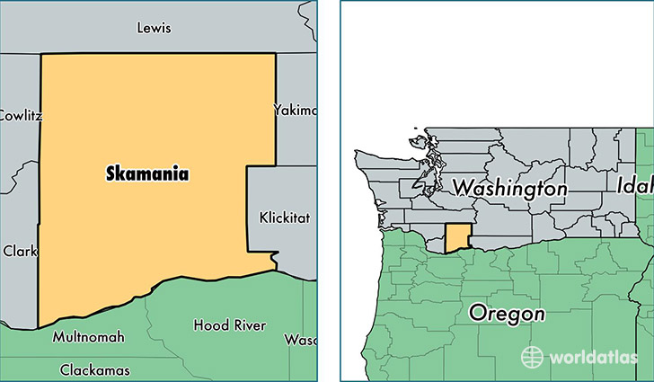
Skamania County is a county equivalent area found in Washington, USA. The county government of Skamania is found in the county seat of Stevenson.
With a total 4,361.06 sq. km of land and water area, Skamania County, Washington is the 398th largest county equivalent area in the United States. Home to 11,340 people, Skamania County has a total 5612 households earning 53712 on average per year.
Skamania County, Washington offers the following attraction to visitors: Mount St. Helens National Volcanic Monument
Skamania County, Washington - Quick Facts
| FIPS Code | 53059 |
| Area Codes | 509 |
| Time Zone | PST |
| Major Cities | Stevenson (population: 3,133), Carson (population: 2,902), Bingen (population: 1,244), Underwood (population: 949), North Bonneville (population: 856) |
| Land Area | 4,378 sq miles |
| Water Area | 1,656 sq miles |
| Household Income | $53,712 |
| Housing Units | 5,612 |
| Median Home Value | $248,200 |
| High School Grads | 90% of population |
| Holders of Bachelors Degrees | 21% of population |
| Retail Spending | $2,418 per capita |
| Food & Accomodation Sales | $28,489 per capita |
This page was last updated on June 30, 2016.