Where is Lewis County, Washington?
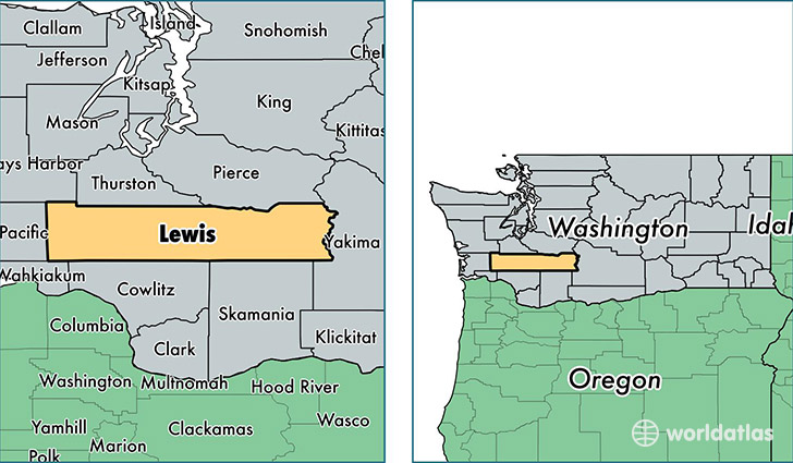
Lewis County is a county equivalent area found in Washington, USA. The county government of Lewis is found in the county seat of Chehalis.
With a total 6,309.86 sq. km of land and water area, Lewis County, Washington is the 239th largest county equivalent area in the United States. Home to 75,128 people, Lewis County has a total 33934 households earning 42860 on average per year.
Lewis County, Washington - Quick Facts
| FIPS Code | 53041 |
| Area Codes | 360 |
| Time Zone | PST |
| Major Cities | Centralia (population: 24,217), Chehalis (population: 23,647), Winlock (population: 6,538), Toledo (population: 3,960), Onalaska (population: 3,897), Mossyrock (population: 2,464), Morton (population: 2,153), Randle (population: 1,926), Packwood (population: 1,160), Vader (population: 1,115) |
| Land Area | 29,007 sq miles |
| Water Area | 2,403 sq miles |
| Household Income | $42,860 |
| Housing Units | 33,934 |
| Median Home Value | $180,200 |
| High School Grads | 86% of population |
| Holders of Bachelors Degrees | 14% of population |
| Retail Spending | $12,355 per capita |
| Food & Accomodation Sales | $96,165 per capita |
| Universities and Colleges | Centralia College |
This page was last updated on June 30, 2016.