Where is Windsor County, Vermont?
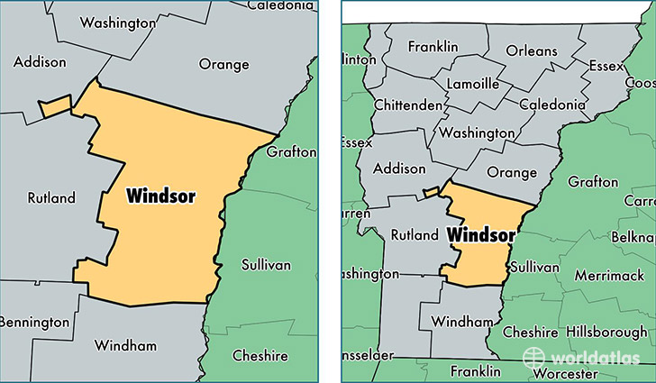
Windsor County is a county equivalent area found in Vermont, USA. The county government of Windsor is found in the county seat of Woodstock.
With a total 2,529.86 sq. km of land and water area, Windsor County, Vermont is the 804th largest county equivalent area in the United States. Home to 56,014 people, Windsor County has a total 34031 households earning 52460 on average per year.
Windsor County, Vermont offers the following attractions to visitors: Calvin Coolidge Birth, Marsh-Billings-Rockefeller NHP
Windsor County, Vermont - Quick Facts
| FIPS Code | 50027 |
| Area Codes | 802 |
| Time Zone | EST |
| Major Cities | Springfield (population: 9,151), White River Junction (population: 9,049), Windsor (population: 4,938), Chester (population: 4,305), Norwich (population: 3,335), Woodstock (population: 3,261), South Royalton (population: 3,099), Bethel (population: 2,642), Hartland (population: 2,409), Ludlow (population: 2,075) |
| Land Area | 21,627 sq miles |
| Water Area | 970 sq miles |
| Household Income | $52,460 |
| Housing Units | 34,031 |
| Median Home Value | $216,300 |
| High School Grads | 93% of population |
| Holders of Bachelors Degrees | 34% of population |
| Retail Spending | $12,147 per capita |
| Food & Accomodation Sales | $154,409 per capita |
This page was last updated on June 30, 2016.