Where is Washington County, Vermont?
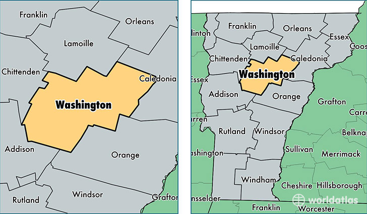
Washington County is a county equivalent area found in Vermont, USA. The county government of Washington is found in the county seat of Montpelier.
With a total 1,801.12 sq. km of land and water area, Washington County, Vermont is the 1454th largest county equivalent area in the United States. Home to 58,998 people, Washington County has a total 29968 households earning 57281 on average per year.
Washington County, Vermont - Quick Facts
| FIPS Code | 50023 |
| Area Codes | 802 |
| Time Zone | EST |
| Major Cities | Barre (population: 17,149), Montpelier (population: 11,902), Northfield (population: 6,765), Waterbury (population: 4,984), Waitsfield (population: 2,571), Waterbury Center (population: 2,229), Plainfield (population: 2,163), Warren (population: 1,703), Moretown (population: 1,658), East Montpelier (population: 1,544) |
| Land Area | 22,779 sq miles |
| Water Area | 687 sq miles |
| Household Income | $57,281 |
| Housing Units | 29,968 |
| Median Home Value | $205,000 |
| High School Grads | 94% of population |
| Holders of Bachelors Degrees | 38% of population |
| Retail Spending | $16,125 per capita |
| Food & Accomodation Sales | $118,956 per capita |
| Universities and Colleges | Vermont State Colleges-Office of the Chancellor |
This page was last updated on June 30, 2016.