Where is Franklin County, Vermont?
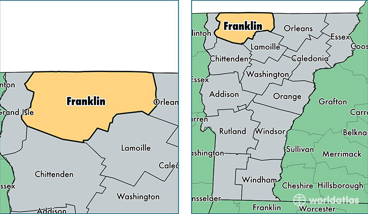
Franklin County is a county equivalent area found in Vermont, USA. The county government of Franklin is found in the county seat of Saint Albans.
With a total 1,792.22 sq. km of land and water area, Franklin County, Vermont is the 1461st largest county equivalent area in the United States. Home to 48,642 people, Franklin County has a total 21807 households earning 56240 on average per year.
Franklin County, Vermont - Quick Facts
| FIPS Code | 50011 |
| Area Codes | 802 |
| Time Zone | EST |
| Major Cities | Saint Albans (population: 14,590), Swanton (population: 7,765), Enosburg Falls (population: 5,025), Richford (population: 3,214), Highgate Center (population: 2,177), Franklin (population: 1,632), Sheldon (population: 1,315), East Fairfield (population: 1,145), Fairfield (population: 1,090), Bakersfield (population: 967) |
| Land Area | 18,781 sq miles |
| Water Area | 634 sq miles |
| Household Income | $56,240 |
| Housing Units | 21,807 |
| Median Home Value | $204,400 |
| High School Grads | 89% of population |
| Holders of Bachelors Degrees | 24% of population |
| Retail Spending | $11,383 per capita |
| Food & Accomodation Sales | $39,606 per capita |
This page was last updated on June 30, 2016.