Where is Wayne County, Utah?
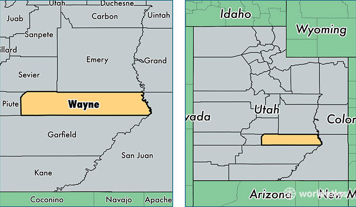
Wayne County is a county equivalent area found in Utah, USA. The county government of Wayne is found in the county seat of Loa.
With a total 6,388.87 sq. km of land and water area, Wayne County, Utah is the 236th largest county equivalent area in the United States. Home to 2,723 people, Wayne County has a total 1601 households earning 41458 on average per year.
Wayne County, Utah offers the following attraction to visitors: Capitol Reef NP
Wayne County, Utah - Quick Facts
| FIPS Code | 49055 |
| Area Codes | 435 |
| Time Zone | MST |
| Major Cities | Loa (population: 1,080), Bicknell (population: 452), Torrey (population: 424), Teasdale (population: 316), Hanksville (population: 257), Lyman (population: 214) |
| Land Area | 1,051 sq miles |
| Water Area | 2,461 sq miles |
| Household Income | $41,458 |
| Housing Units | 1,601 |
| Median Home Value | $173,500 |
| High School Grads | 96% of population |
| Holders of Bachelors Degrees | 25% of population |
| Retail Spending | $11,197 per capita |
| Food & Accomodation Sales | $7,736 per capita |
This page was last updated on June 30, 2016.