Where is Mesquite, TX?
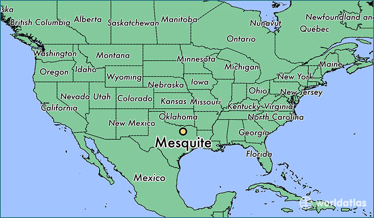
Mesquite is a city found in Texas, The United States Of America. It is located 32.77 latitude and -96.60 longitude and it is situated at elevation 155 meters above sea level.
Mesquite has a population of 139,824 making it the 16th biggest city in Texas. It operates on the CDT time zone, which means that it follows the same time zone as Houston.
Quick facts
| Country | The United States Of America |
| State | Texas |
| Population | 139,824 |
| Elevation | 155 m over sea level |
| Time Zone | CDT |
| Longitude | -96.599160 |
| Latitude | 32.766800 |
Mesquite has a population of around 143584, of which 68668 (47%) are male and 74916 (52%) are female. The average age of the inhabitants of Mesquite is 33.62, meaning that the average person is below the national median age of 37. For every male, there are approximately 1.09 females, meaning that the population is relatively evenly distributed between males and female(s).
Of Mesquite's 143584 residents, around 139718 (97.30%) identify as having a single race. The majority of the population is white, which consists of 66.00% of the population. Of the remaining population, 34032 are black/African Americans (23.70%), 891 are native Americans (0.60%), 4489 are asians (3.10%), 5529 are other (3.90%).
The median income of households in Mesquite is $49604.00, meaning that most of the households are above the poverty threshold for families of three. Of the total population, 4.80% of households reported an annual income of less than $10,000.
Mesquite, TX Zipcodes
The city of Mesquite has 11 zipcodes recognized by the United States Census Bureau: 75043, 75126, 75149, 75150, 75159, 75180, 75181, 75182, 75227, 75228, 75253.