Where is Van Zandt County, Texas?
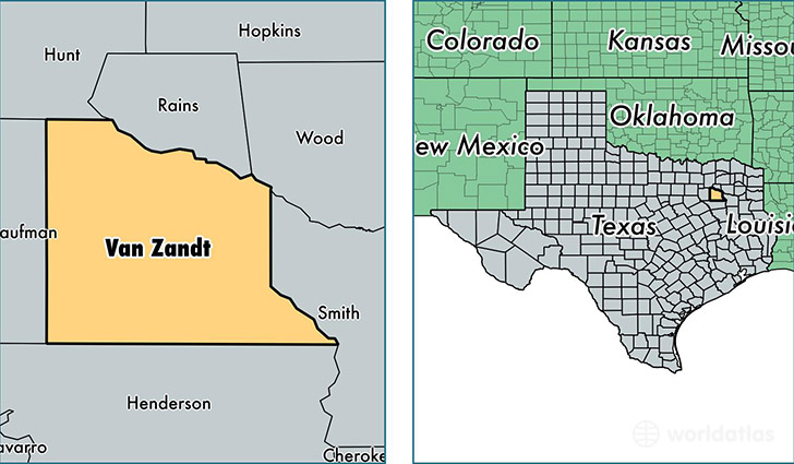
Van Zandt County is a county equivalent area found in Texas, USA. The county government of Van Zandt is found in the county seat of Canton.
With a total 2,226.38 sq. km of land and water area, Van Zandt County, Texas is the 1068th largest county equivalent area in the United States. Home to 52,910 people, Van Zandt County has a total 22717 households earning 43439 on average per year.
Van Zandt County, Texas - Quick Facts
| FIPS Code | 48467 |
| Area Codes | 903 |
| Time Zone | CST |
| Major Cities | Wills Point (population: 14,649), Canton (population: 12,813), Grand Saline (population: 6,937), Ben Wheeler (population: 5,766), Van (population: 4,192), Edgewood (population: 3,711), Fruitvale (population: 1,588) |
| Land Area | 20,429 sq miles |
| Water Area | 842 sq miles |
| Household Income | $43,439 |
| Housing Units | 22,717 |
| Median Home Value | $96,900 |
| High School Grads | 81% of population |
| Holders of Bachelors Degrees | 14% of population |
| Retail Spending | $7,915 per capita |
| Food & Accomodation Sales | $32,941 per capita |
This page was last updated on June 30, 2016.