Where is Medina County, Texas?
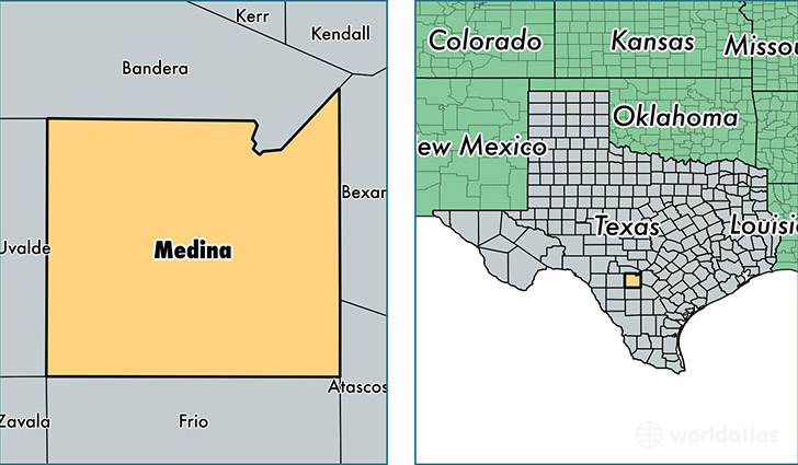
Medina County is a county equivalent area found in Texas, USA. The county government of Medina is found in the county seat of Hondo.
With a total 3,456.43 sq. km of land and water area, Medina County, Texas is the 507th largest county equivalent area in the United States. Home to 47,894 people, Medina County has a total 17914 households earning 55326 on average per year.
Medina County, Texas - Quick Facts
| FIPS Code | 48325 |
| Area Codes | 830 |
| Time Zone | CST |
| Major Cities | Hondo (population: 13,927), Devine (population: 9,788), Castroville (population: 7,374), Natalia (population: 5,475), Mico (population: 1,948), La Coste (population: 1,687), D Hanis (population: 1,163), Moore (population: 895), Yancey (population: 657), Rio Medina (population: 600) |
| Land Area | 18,492 sq miles |
| Water Area | 1,325 sq miles |
| Household Income | $55,326 |
| Housing Units | 17,914 |
| Median Home Value | $112,900 |
| High School Grads | 81% of population |
| Holders of Bachelors Degrees | 20% of population |
| Retail Spending | $8,231 per capita |
| Food & Accomodation Sales | $29,785 per capita |
This page was last updated on June 30, 2016.