Where is Maverick County, Texas?
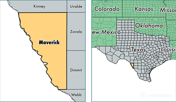
Maverick County is a county equivalent area found in Texas, USA. The county government of Maverick is found in the county seat of Eagle Pass.
With a total 3,345.69 sq. km of land and water area, Maverick County, Texas is the 530th largest county equivalent area in the United States. Home to 57,023 people, Maverick County has a total 17849 households earning 31395 on average per year.
Maverick County, Texas - Quick Facts
| FIPS Code | 48323 |
| Area Codes | 830 |
| Time Zone | CST |
| Major Cities | Eagle Pass (population: 54,122), Quemado (population: 1,009), El Indio (population: 233) |
| Land Area | 22,017 sq miles |
| Water Area | 1,280 sq miles |
| Household Income | $31,395 |
| Housing Units | 17,849 |
| Median Home Value | $86,300 |
| High School Grads | 57% of population |
| Holders of Bachelors Degrees | 12% of population |
| Retail Spending | $9,897 per capita |
| Food & Accomodation Sales | $48,530 per capita |
This page was last updated on June 30, 2016.