Where is Karnes County, Texas?
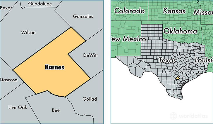
Karnes County is a county equivalent area found in Texas, USA. The county government of Karnes is found in the county seat of Karnes City.
With a total 1,951.68 sq. km of land and water area, Karnes County, Texas is the 1274th largest county equivalent area in the United States. Home to 14,906 people, Karnes County has a total 5706 households earning 42862 on average per year.
Karnes County, Texas - Quick Facts
| FIPS Code | 48255 |
| Area Codes | 830 |
| Time Zone | CST |
| Major Cities | Kenedy (population: 7,889), Karnes City (population: 4,085), Falls City (population: 2,510), Runge (population: 1,384), Hobson (population: 560), Gillett (population: 400), Panna Maria (population: 46) |
| Land Area | 5,755 sq miles |
| Water Area | 747 sq miles |
| Household Income | $42,862 |
| Housing Units | 5,706 |
| Median Home Value | $75,000 |
| High School Grads | 71% of population |
| Holders of Bachelors Degrees | 11% of population |
| Retail Spending | $6,766 per capita |
| Food & Accomodation Sales | $8,635 per capita |
This page was last updated on June 30, 2016.