Where is Hardin County, Texas?
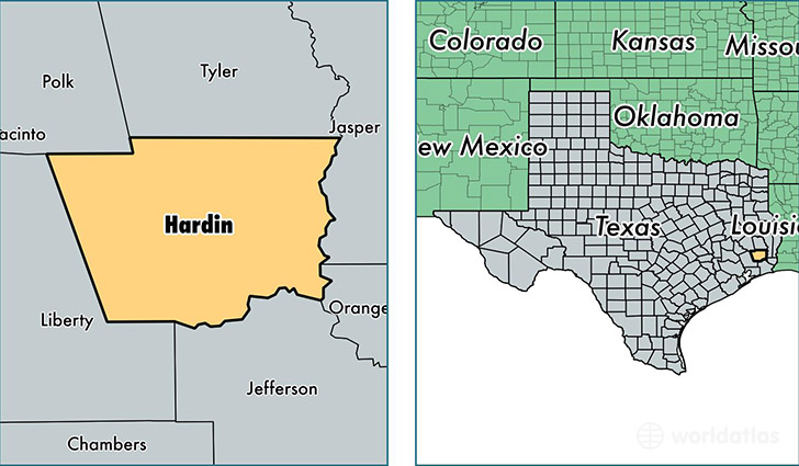
Hardin County is a county equivalent area found in Texas, USA. The county government of Hardin is found in the county seat of Kountze.
With a total 2,324.65 sq. km of land and water area, Hardin County, Texas is the 978th largest county equivalent area in the United States. Home to 55,621 people, Hardin County has a total 23113 households earning 53013 on average per year.
Hardin County, Texas offers the following attraction to visitors: Big Thicket National Preserve
Hardin County, Texas - Quick Facts
| FIPS Code | 48199 |
| Area Codes | 936,409 |
| Time Zone | CST |
| Major Cities | Lumberton (population: 20,206), Silsbee (population: 17,278), Kountze (population: 8,575), Sour Lake (population: 4,959), Village Mills (population: 1,354), Batson (population: 1,203), Saratoga (population: 1,024), Votaw (population: 623), Thicket (population: 515) |
| Land Area | 21,475 sq miles |
| Water Area | 891 sq miles |
| Household Income | $53,013 |
| Housing Units | 23,113 |
| Median Home Value | $100,400 |
| High School Grads | 86% of population |
| Holders of Bachelors Degrees | 16% of population |
| Retail Spending | $11,835 per capita |
| Food & Accomodation Sales | $37,231 per capita |
This page was last updated on June 30, 2016.