Where is Gonzales County, Texas?
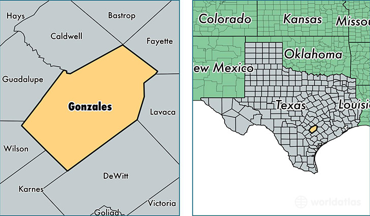
Gonzales County is a county equivalent area found in Texas, USA. The county government of Gonzales is found in the county seat of Gonzales.
With a total 2,770.91 sq. km of land and water area, Gonzales County, Texas is the 697th largest county equivalent area in the United States. Home to 20,462 people, Gonzales County has a total 8725 households earning 39248 on average per year.
Gonzales County, Texas - Quick Facts
| FIPS Code | 48177 |
| Area Codes | 830,512 |
| Time Zone | CST |
| Major Cities | Gonzales (population: 12,030), Nixon (population: 3,430), Waelder (population: 1,858), Smiley (population: 1,035), Cost (population: 461), Leesville (population: 423), Ottine (population: 112), Wrightsboro (population: 93) |
| Land Area | 7,900 sq miles |
| Water Area | 1,067 sq miles |
| Household Income | $39,248 |
| Housing Units | 8,725 |
| Median Home Value | $77,500 |
| High School Grads | 69% of population |
| Holders of Bachelors Degrees | 15% of population |
| Retail Spending | $9,252 per capita |
| Food & Accomodation Sales | $17,385 per capita |
This page was last updated on June 30, 2016.