Where is Ellis County, Texas?
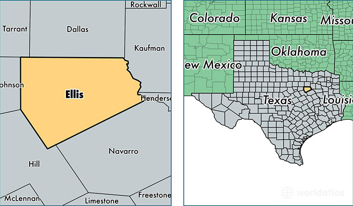
Ellis County is a county equivalent area found in Texas, USA. The county government of Ellis is found in the county seat of Waxahachie.
With a total 2,465.02 sq. km of land and water area, Ellis County, Texas is the 836th largest county equivalent area in the United States. Home to 159,317 people, Ellis County has a total 55993 households earning 61952 on average per year.
Ellis County, Texas - Quick Facts
| FIPS Code | 48139 |
| Area Codes | 972 |
| Time Zone | CST |
| Major Cities | Waxahachie (population: 47,753), Red Oak (population: 37,153), Midlothian (population: 29,830), Ennis (population: 27,371), Ferris (population: 6,888), Palmer (population: 4,740), Italy (population: 3,396), Maypearl (population: 1,937), Milford (population: 1,405), Bardwell (population: 664) |
| Land Area | 61,513 sq miles |
| Water Area | 936 sq miles |
| Household Income | $61,952 |
| Housing Units | 55,993 |
| Median Home Value | $137,500 |
| High School Grads | 84% of population |
| Holders of Bachelors Degrees | 21% of population |
| Retail Spending | $9,265 per capita |
| Food & Accomodation Sales | $126,593 per capita |
This page was last updated on June 30, 2016.