Where is Edwards County, Texas?
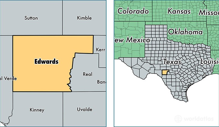
Edwards County is a county equivalent area found in Texas, USA. The county government of Edwards is found in the county seat of Rocksprings.
With a total 5,490.43 sq. km of land and water area, Edwards County, Texas is the 298th largest county equivalent area in the United States. Home to 1,879 people, Edwards County has a total 1600 households earning 43839 on average per year.
Edwards County, Texas - Quick Facts
| FIPS Code | 48137 |
| Area Codes | 325,830 |
| Time Zone | CST |
| Major Cities | Rocksprings (population: 1,654), Barksdale (population: 255) |
| Land Area | 725 sq miles |
| Water Area | 2,118 sq miles |
| Household Income | $43,839 |
| Housing Units | 1,600 |
| Median Home Value | $70,500 |
| High School Grads | 69% of population |
| Holders of Bachelors Degrees | 24% of population |
| Retail Spending | $6,063 per capita |
This page was last updated on June 30, 2016.