Where is Dickens County, Texas?
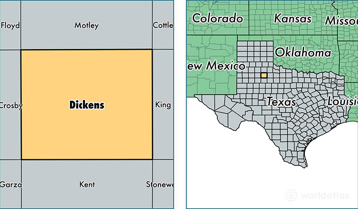
Dickens County is a county equivalent area found in Texas, USA. The county government of Dickens is found in the county seat of Dickens.
With a total 2,344.51 sq. km of land and water area, Dickens County, Texas is the 942nd largest county equivalent area in the United States. Home to 2,218 people, Dickens County has a total 1276 households earning 38401 on average per year.
Dickens County, Texas - Quick Facts
| FIPS Code | 48125 |
| Area Codes | 806 |
| Time Zone | CST |
| Major Cities | Spur (population: 1,804), Dickens (population: 403), Afton (population: 187) |
| Land Area | 856 sq miles |
| Water Area | 902 sq miles |
| Household Income | $38,401 |
| Housing Units | 1,276 |
| Median Home Value | $48,400 |
| High School Grads | 77% of population |
| Holders of Bachelors Degrees | 14% of population |
| Retail Spending | $4,577 per capita |
| Food & Accomodation Sales | $914 per capita |
This page was last updated on June 30, 2016.