Where is Crosby County, Texas?
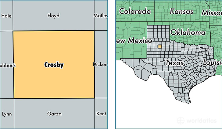
Crosby County is a county equivalent area found in Texas, USA. The county government of Crosby is found in the county seat of Crosbyton.
With a total 2,335.38 sq. km of land and water area, Crosby County, Texas is the 955th largest county equivalent area in the United States. Home to 5,899 people, Crosby County has a total 2897 households earning 38187 on average per year.
Crosby County, Texas - Quick Facts
| FIPS Code | 48107 |
| Area Codes | 806 |
| Time Zone | CST |
| Major Cities | Ralls (population: 2,328), Crosbyton (population: 2,071), Lorenzo (population: 1,590), McAdoo (population: 85) |
| Land Area | 2,278 sq miles |
| Water Area | 900 sq miles |
| Household Income | $38,187 |
| Housing Units | 2,897 |
| Median Home Value | $55,400 |
| High School Grads | 70% of population |
| Holders of Bachelors Degrees | 14% of population |
| Retail Spending | $3,807 per capita |
This page was last updated on June 30, 2016.