Where is Collin County, Texas?
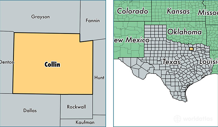
Collin County is a county equivalent area found in Texas, USA. The county government of Collin is found in the county seat of McKinney.
With a total 2,295.01 sq. km of land and water area, Collin County, Texas is the 1008th largest county equivalent area in the United States. Home to 885,241 people, Collin County has a total 319279 households earning 82762 on average per year.
Collin County, Texas - Quick Facts
| FIPS Code | 48085 |
| Area Codes | 972 |
| Time Zone | CST |
| Major Cities | Plano (population: 296,656), McKinney (population: 154,620), Allen (population: 99,736), Wylie (population: 51,353), Frisco (population: 50,732), Dallas (population: 25,705), Richardson (population: 22,525), Princeton (population: 15,063), Anna (population: 12,621), Prosper (population: 11,300) |
| Land Area | 341,793 sq miles |
| Water Area | 841 sq miles |
| Household Income | $82,762 |
| Housing Units | 319,279 |
| Median Home Value | $206,100 |
| High School Grads | 93% of population |
| Holders of Bachelors Degrees | 49% of population |
| Retail Spending | $16,850 per capita |
| Food & Accomodation Sales | $1,380,442 per capita |
This page was last updated on June 30, 2016.