Where is Calhoun County, Texas?
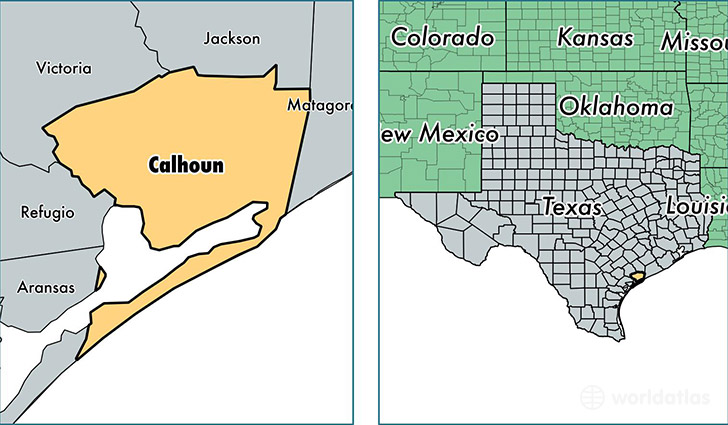
Calhoun County is a county equivalent area found in Texas, USA. The county government of Calhoun is found in the county seat of Port Lavaca.
With a total 2,674.61 sq. km of land and water area, Calhoun County, Texas is the 737th largest county equivalent area in the United States. Home to 21,797 people, Calhoun County has a total 11503 households earning 47027 on average per year.
Calhoun County, Texas - Quick Facts
| FIPS Code | 48057 |
| Area Codes | 361 |
| Time Zone | CST |
| Major Cities | Port Lavaca (population: 17,328), Seadrift (population: 2,232), Port O Connor (population: 1,266), Point Comfort (population: 750) |
| Land Area | 8,416 sq miles |
| Water Area | 507 sq miles |
| Household Income | $47,027 |
| Housing Units | 11,503 |
| Median Home Value | $98,100 |
| High School Grads | 78% of population |
| Holders of Bachelors Degrees | 16% of population |
| Retail Spending | $15,877 per capita |
| Food & Accomodation Sales | $21,053 per capita |
This page was last updated on June 30, 2016.