Where is Anderson County, Tennessee?
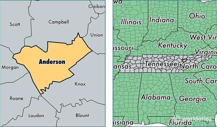
Anderson County is a county equivalent area found in Tennessee, USA. The county government of Anderson is found in the county seat of Clinton.
With a total 893.02 sq. km of land and water area, Anderson County, Tennessee is the 2747th largest county equivalent area in the United States. Home to 75,528 people, Anderson County has a total 34591 households earning 43620 on average per year.
Anderson County, Tennessee - Quick Facts
| FIPS Code | 47001 |
| Area Codes | 865 |
| Time Zone | EST |
| Major Cities | Oak Ridge (population: 29,765), Clinton (population: 25,847), Lake City (population: 6,007), Heiskell (population: 4,774), Andersonville (population: 4,573), Norris (population: 1,435), Briceville (population: 1,145) |
| Land Area | 29,162 sq miles |
| Water Area | 337 sq miles |
| Household Income | $43,620 |
| Housing Units | 34,591 |
| Median Home Value | $127,000 |
| High School Grads | 84% of population |
| Holders of Bachelors Degrees | 24% of population |
| Retail Spending | $12,381 per capita |
| Food & Accomodation Sales | $126,580 per capita |
This page was last updated on June 30, 2016.