Where is Yankton County, South Dakota?
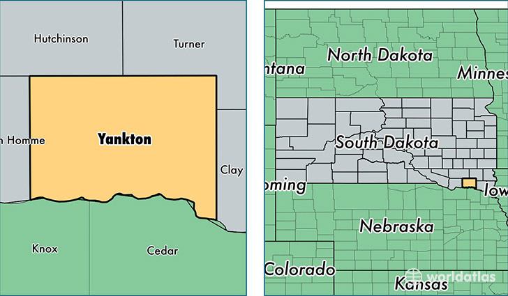
Yankton County is a county equivalent area found in South Dakota, USA. The county government of Yankton is found in the county seat of Yankton.
With a total 1,378.44 sq. km of land and water area, Yankton County, South Dakota is the 2070th largest county equivalent area in the United States. Home to 22,684 people, Yankton County has a total 9715 households earning 52578 on average per year.
Yankton County, South Dakota - Quick Facts
| FIPS Code | 46135 |
| Area Codes | 605 |
| Time Zone | CST |
| Major Cities | Yankton (population: 19,260), Irene (population: 823), Gayville (population: 747), Mission Hill (population: 630), Volin (population: 589), Utica (population: 540), Lesterville (population: 391) |
| Land Area | 8,758 sq miles |
| Water Area | 521 sq miles |
| Household Income | $52,578 |
| Housing Units | 9,715 |
| Median Home Value | $126,700 |
| High School Grads | 91% of population |
| Holders of Bachelors Degrees | 26% of population |
| Retail Spending | $13,498 per capita |
| Food & Accomodation Sales | $34,531 per capita |
This page was last updated on June 30, 2016.