Where is Wyoming County, Pennsylvania?
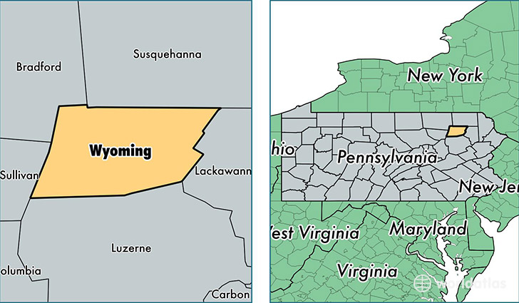
Wyoming County is a county equivalent area found in Pennsylvania, USA. The county government of Wyoming is found in the county seat of Tunkhannock.
With a total 1,049.04 sq. km of land and water area, Wyoming County, Pennsylvania is the 2576th largest county equivalent area in the United States. Home to 28,131 people, Wyoming County has a total 13238 households earning 48482 on average per year.
Wyoming County, Pennsylvania - Quick Facts
| FIPS Code | 42131 |
| Area Codes | 570 |
| Time Zone | EST |
| Major Cities | Tunkhannock (population: 11,920), Factoryville (population: 4,615), Laceyville (population: 2,721), Falls (population: 1,857), Mehoopany (population: 1,791), Noxen (population: 1,431), Lake Winola (population: 488) |
| Land Area | 10,861 sq miles |
| Water Area | 397 sq miles |
| Household Income | $48,482 |
| Housing Units | 13,238 |
| Median Home Value | $155,100 |
| High School Grads | 89% of population |
| Holders of Bachelors Degrees | 17% of population |
| Retail Spending | $10,329 per capita |
| Food & Accomodation Sales | $22,304 per capita |
| Universities and Colleges | Keystone College |
This page was last updated on June 30, 2016.