Where is Union County, Pennsylvania?
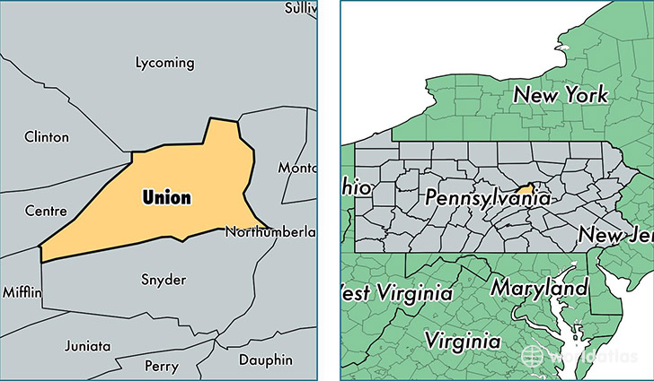
Union County is a county equivalent area found in Pennsylvania, USA. The county government of Union is found in the county seat of Lewisburg.
With a total 823.04 sq. km of land and water area, Union County, Pennsylvania is the 2809th largest county equivalent area in the United States. Home to 44,874 people, Union County has a total 16995 households earning 48528 on average per year.
Union County, Pennsylvania - Quick Facts
| FIPS Code | 42119 |
| Area Codes | 570 |
| Time Zone | EST |
| Major Cities | Lewisburg (population: 19,817), Mifflinburg (population: 10,043), New Columbia (population: 3,365), Winfield (population: 2,734), Millmont (population: 2,245), White Deer (population: 1,778), New Berlin (population: 992), West Milton (population: 895), Hartleton (population: 244), Laurelton (population: 219) |
| Land Area | 17,326 sq miles |
| Water Area | 316 sq miles |
| Household Income | $48,528 |
| Housing Units | 16,995 |
| Median Home Value | $154,300 |
| High School Grads | 85% of population |
| Holders of Bachelors Degrees | 21% of population |
| Retail Spending | $8,536 per capita |
| Food & Accomodation Sales | $80,214 per capita |
| Universities and Colleges | Bucknell University |
This page was last updated on June 30, 2016.