Where is Sullivan County, Pennsylvania?
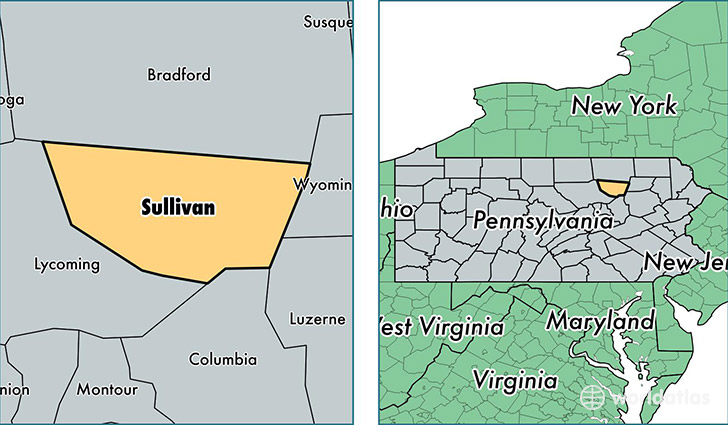
Sullivan County is a county equivalent area found in Pennsylvania, USA. The county government of Sullivan is found in the county seat of Laporte.
With a total 1,171.96 sq. km of land and water area, Sullivan County, Pennsylvania is the 2335th largest county equivalent area in the United States. Home to 6,339 people, Sullivan County has a total 6280 households earning 40964 on average per year.
Sullivan County, Pennsylvania - Quick Facts
| FIPS Code | 42113 |
| Area Codes | 570 |
| Time Zone | EST |
| Major Cities | Dushore (population: 2,438), Muncy Valley (population: 924), Forksville (population: 741), Laporte (population: 518), Mildred (population: 411), Shunk (population: 378), Hillsgrove (population: 274), Lopez (population: 192), Eagles Mere (population: 185) |
| Land Area | 2,448 sq miles |
| Water Area | 450 sq miles |
| Household Income | $40,964 |
| Housing Units | 6,280 |
| Median Home Value | $137,000 |
| High School Grads | 87% of population |
| Holders of Bachelors Degrees | 14% of population |
| Retail Spending | $7,205 per capita |
| Food & Accomodation Sales | $6,790 per capita |
This page was last updated on June 30, 2016.