Where is Snyder County, Pennsylvania?
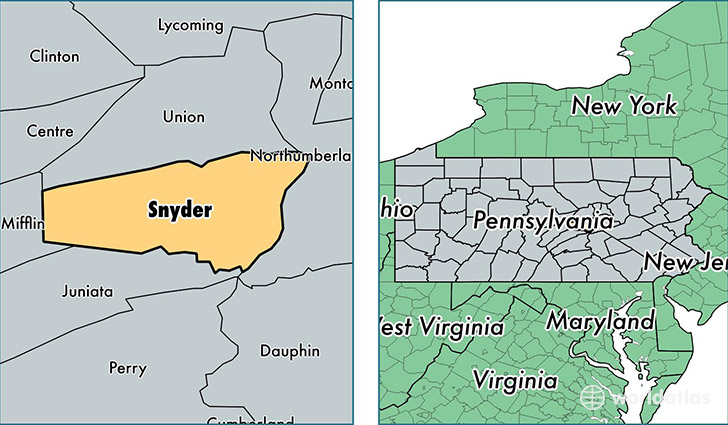
Snyder County is a county equivalent area found in Pennsylvania, USA. The county government of Snyder is found in the county seat of Middleburg.
With a total 858.64 sq. km of land and water area, Snyder County, Pennsylvania is the 2779th largest county equivalent area in the United States. Home to 40,323 people, Snyder County has a total 16057 households earning 46513 on average per year.
Snyder County, Pennsylvania - Quick Facts
| FIPS Code | 42109 |
| Area Codes | 717,570 |
| Time Zone | EST |
| Major Cities | Selinsgrove (population: 14,553), Middleburg (population: 8,903), Mount Pleasant Mills (population: 3,223), Richfield (population: 2,515), Port Trevorton (population: 2,443), Beavertown (population: 1,977), Shamokin Dam (population: 1,696), Beaver Springs (population: 1,478), Freeburg (population: 656), Penns Creek (population: 576) |
| Land Area | 15,569 sq miles |
| Water Area | 329 sq miles |
| Household Income | $46,513 |
| Housing Units | 16,057 |
| Median Home Value | $133,700 |
| High School Grads | 83% of population |
| Holders of Bachelors Degrees | 17% of population |
| Retail Spending | $14,756 per capita |
| Food & Accomodation Sales | $53,993 per capita |
| Universities and Colleges | Empire Beauty School-Shamokin Dam |
This page was last updated on June 30, 2016.