Where is Schuylkill County, Pennsylvania?
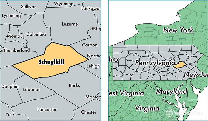
Schuylkill County is a county equivalent area found in Pennsylvania, USA. The county government of Schuylkill is found in the county seat of Pottsville.
With a total 2,027.48 sq. km of land and water area, Schuylkill County, Pennsylvania is the 1209th largest county equivalent area in the United States. Home to 145,797 people, Schuylkill County has a total 68869 households earning 45012 on average per year.
Schuylkill County, Pennsylvania - Quick Facts
| FIPS Code | 42107 |
| Area Codes | 570,610 |
| Time Zone | EST |
| Major Cities | Pottsville (population: 23,791), Schuylkill Haven (population: 11,530), Tamaqua (population: 11,095), Pine Grove (population: 9,241), Frackville (population: 8,401), Ashland (population: 7,612), Orwigsburg (population: 6,900), Shenandoah (population: 6,879), Mahanoy City (population: 4,987), Auburn (population: 4,743) |
| Land Area | 56,293 sq miles |
| Water Area | 779 sq miles |
| Household Income | $45,012 |
| Housing Units | 68,869 |
| Median Home Value | $93,500 |
| High School Grads | 86% of population |
| Holders of Bachelors Degrees | 14% of population |
| Retail Spending | $8,952 per capita |
| Food & Accomodation Sales | $135,797 per capita |
This page was last updated on June 30, 2016.