Where is Potter County, Pennsylvania?
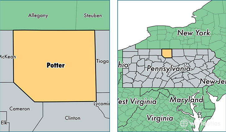
Potter County is a county equivalent area found in Pennsylvania, USA. The county government of Potter is found in the county seat of Coudersport.
With a total 2,801.17 sq. km of land and water area, Potter County, Pennsylvania is the 681st largest county equivalent area in the United States. Home to 17,206 people, Potter County has a total 12805 households earning 41547 on average per year.
Potter County, Pennsylvania - Quick Facts
| FIPS Code | 42105 |
| Area Codes | 814 |
| Time Zone | EST |
| Major Cities | Coudersport (population: 5,969), Shinglehouse (population: 3,007), Galeton (population: 2,015), Ulysses (population: 1,645), Genesee (population: 1,549), Austin (population: 1,398), Roulette (population: 1,273), Harrison Valley (population: 655), Mills (population: 173) |
| Land Area | 6,643 sq miles |
| Water Area | 1,081 sq miles |
| Household Income | $41,547 |
| Housing Units | 12,805 |
| Median Home Value | $96,500 |
| High School Grads | 88% of population |
| Holders of Bachelors Degrees | 15% of population |
| Retail Spending | $8,080 per capita |
| Food & Accomodation Sales | $10,576 per capita |
This page was last updated on June 30, 2016.