Where is Perry County, Pennsylvania?
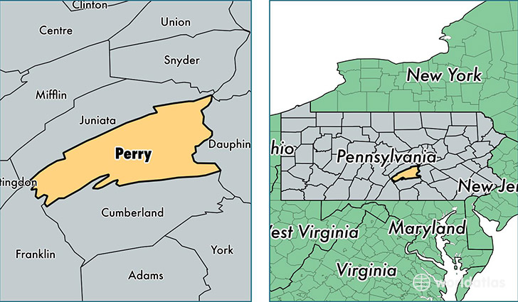
Perry County is a county equivalent area found in Pennsylvania, USA. The county government of Perry is found in the county seat of New Bloomfield.
With a total 1,438.71 sq. km of land and water area, Perry County, Pennsylvania is the 1990th largest county equivalent area in the United States. Home to 45,634 people, Perry County has a total 20368 households earning 57375 on average per year.
Perry County, Pennsylvania - Quick Facts
| FIPS Code | 42099 |
| Area Codes | 717 |
| Time Zone | EST |
| Major Cities | Duncannon (population: 8,994), Newport (population: 7,433), Shermans Dale (population: 5,185), Marysville (population: 4,973), New Bloomfield (population: 4,272), Millerstown (population: 3,971), Liverpool (population: 3,345), Landisburg (population: 2,770), Loysville (population: 2,511), Elliottsburg (population: 1,881) |
| Land Area | 17,619 sq miles |
| Water Area | 551 sq miles |
| Household Income | $57,375 |
| Housing Units | 20,368 |
| Median Home Value | $158,400 |
| High School Grads | 87% of population |
| Holders of Bachelors Degrees | 16% of population |
| Retail Spending | $8,712 per capita |
| Food & Accomodation Sales | $21,735 per capita |
This page was last updated on June 30, 2016.